
Hochkönig
Tři vesnice, jedna obrovská podkova středně obtížného lyžování pod masivem Hochkönig.
Tato stránka byla přeložena strojově. Anglická verze je originál. Zobrazit anglický originál
What to expect at Hochkönig
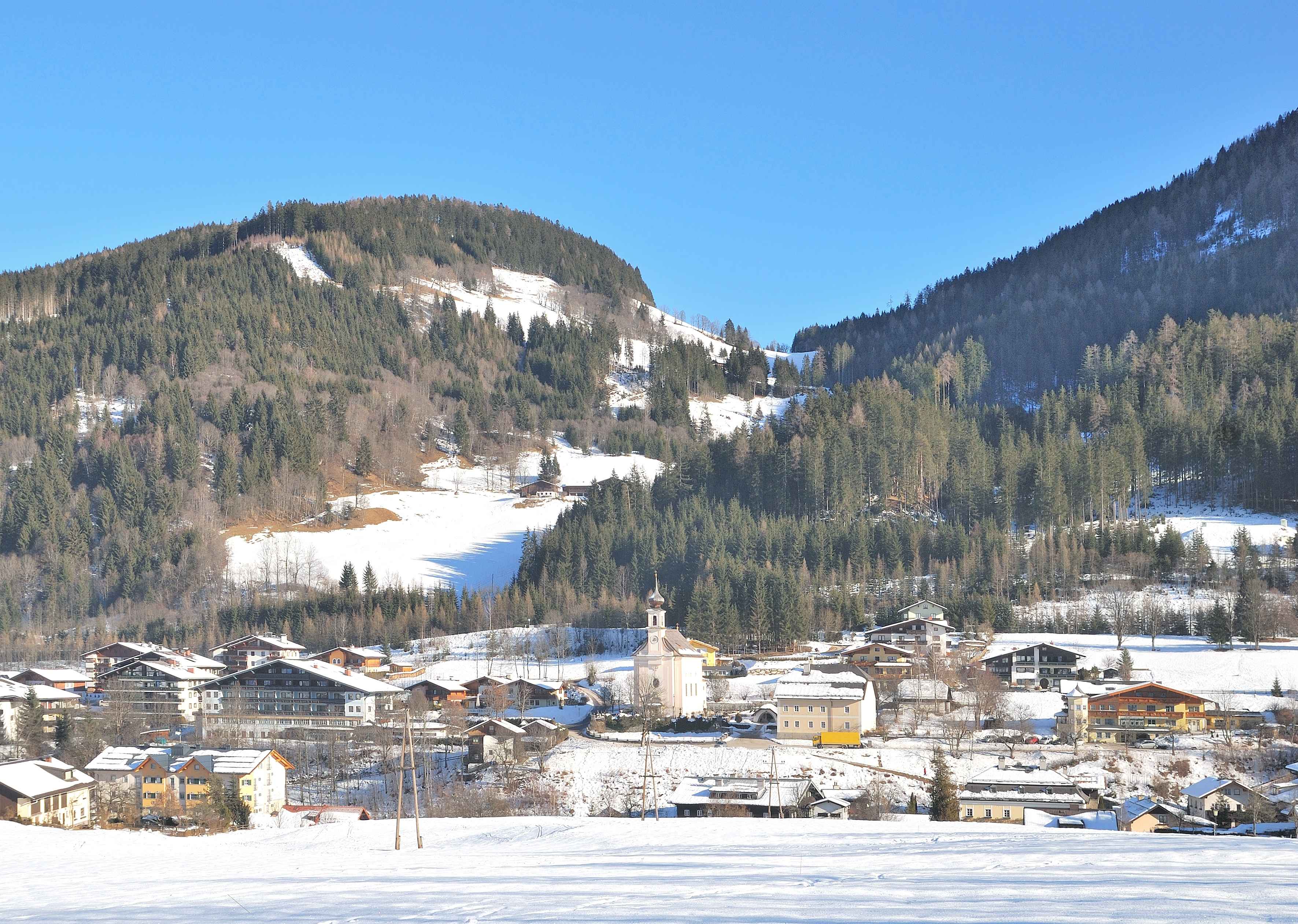
Hochkönig is a trio of Salzburg villages, Maria Alm, Dienten and Mühlbach, ringing the base of the Hochkönig massif at nearly 3,000 m. Skiing links all three across the connected 120 km 'Königstour' circuit, an unusual all-day intermediate loop where you rarely repeat a run. The villages are old-farming small, each with its own church and inn, and the Hochkönig itself rears up as one of the most photogenic backdrops in the Salzburger Land. It is part of the wider Ski Amadé network, but most people who come here stay on the local circuit; it is quieter and prettier than the neighbouring flashier Flachau-Wagrain hub.
Hochkönig in winter
Hochkönig piste map
The official Hochkönig piste map showing every run, lift and sector. Zoom in for detail or open it full screen.
Scroll or pinch to zoom, drag to pan. Map shown: 2024 season.
View and download Hochkönig ski map ↗Getting to Hochkönig
- Salzburg (SZG)46 km by road1 h 3 min
- Klagenfurt (KLU)126 km by road2 h 52 min
- Innsbruck (INN)132 km by road3 h
Drive times are estimates based on typical winter road conditions. Book transfers in advance during peak Saturday changeovers.
Resort figures are checked against official resort sources each season. Spotted something out of date? Tell us.
Střediska v okolí
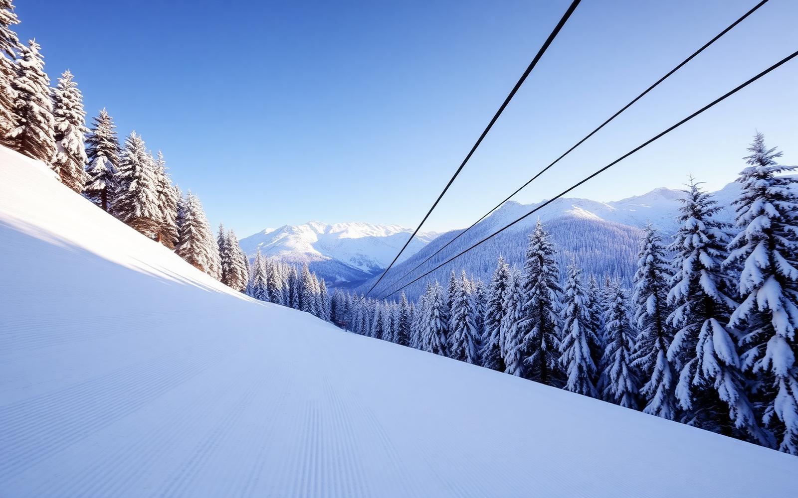
Muhlbach Am Hochkönig
A Salzburg village providing access to the 120km Hochkönig ski circuit beneath Austria's most dramatic limestone massif. Genuine Alpine character.
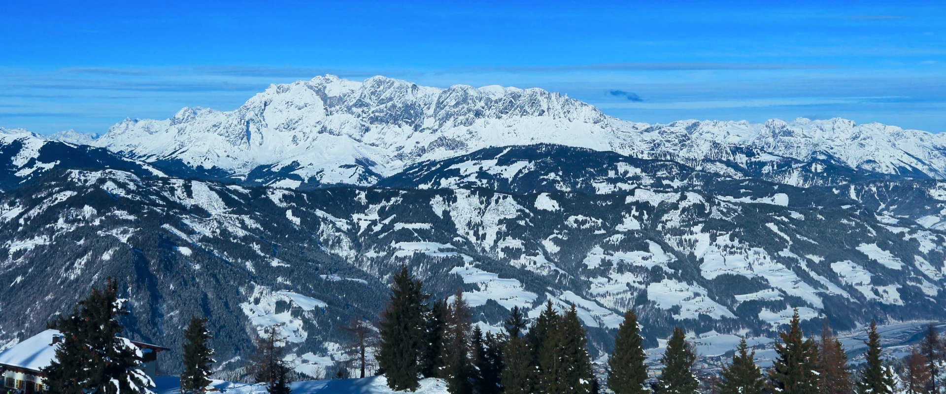
St Johann Im Pongau
Where vibrant small-town charm blends with extensive slope adventures across the peaks and valleys of Ski amadé.
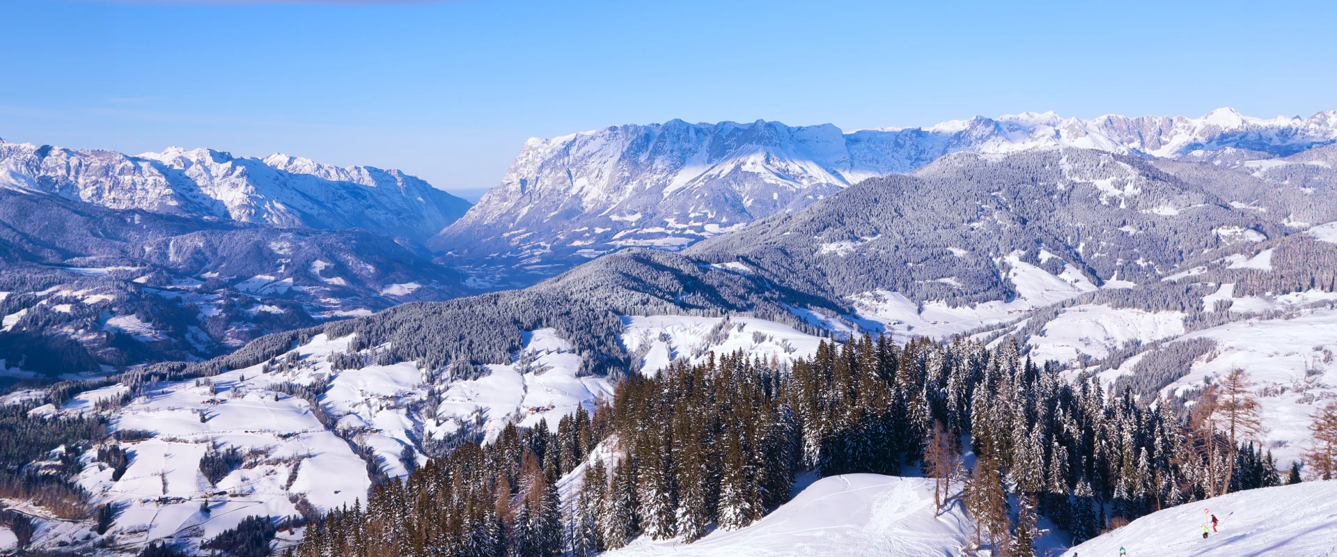
Wagrain
A delightful blend of alpine beauty, ski convenience, and family-friendly amenities
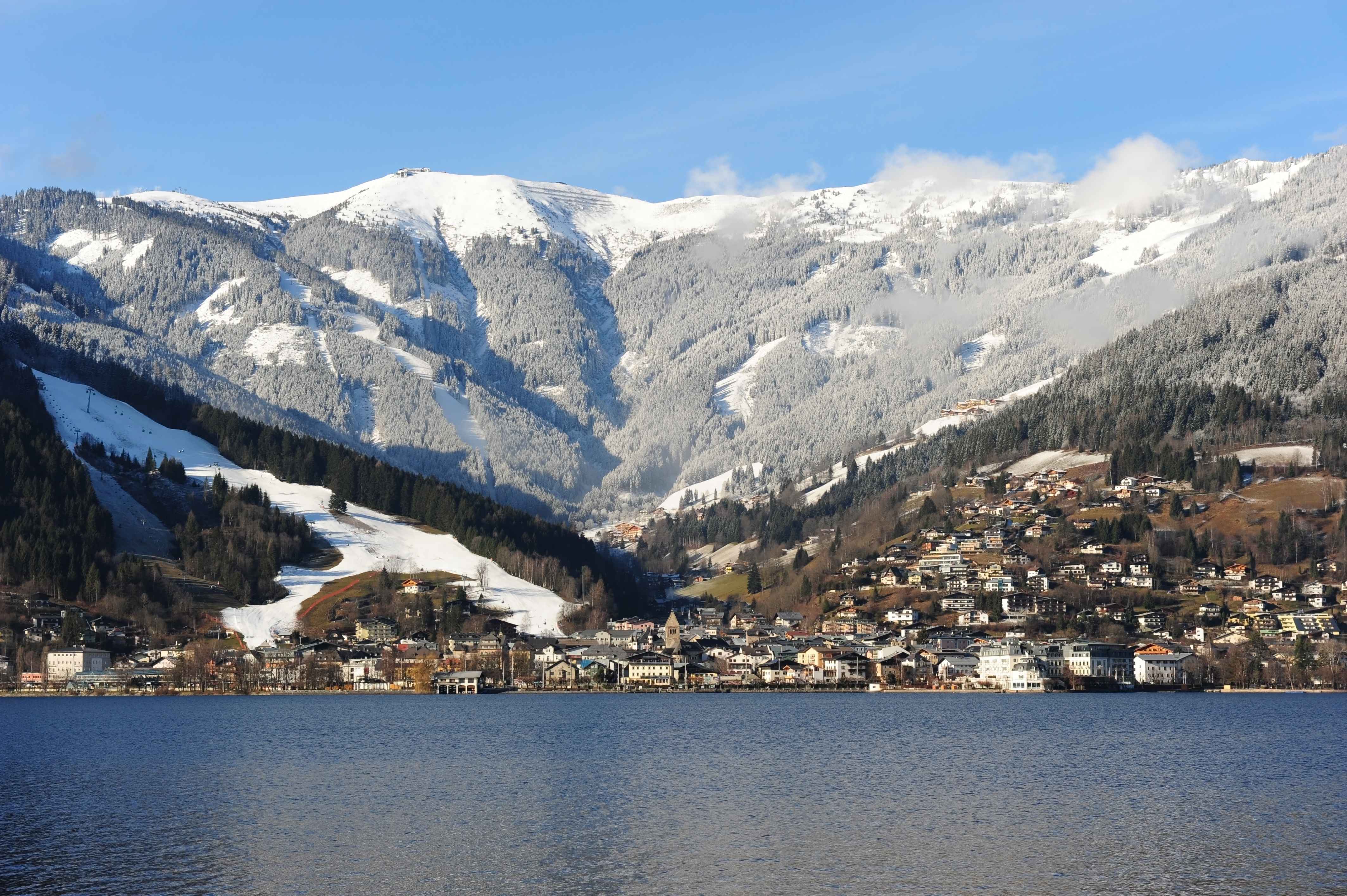
Zell am See Kaprun
Lakeside town with skiing off the Kitzsteinhorn glacier all season long.
Flachau
Ski Amadé hub village and home of the World Cup night slalom under the floodlights.
Kaprun
Sister village to Zell am See with year round skiing on the Kitzsteinhorn glacier.

Zauchensee
High Ski Amadé snow pocket that hosts the World Cup women's downhill each January.
Bad Gastein
Belle Époque spa town with radon baths and long, north facing runs off the Stubnerkogel.