
Puy Saint Vincent
Estación familiar compacta orientada al sur, al borde del Parque Nacional de los Écrins.
Esta página se ha traducido automáticamente. La versión en inglés es la original. Ver el original en inglés
What to expect at Puy Saint Vincent
Puy-Saint-Vincent is a small resort on the edge of the Écrins national park in the Hautes-Alpes, with a total of 75 km of piste on a single south-facing slope from 1,400 m to 2,750 m. It has never really tried to compete with the marquee resorts, three car-free base villages, a strong ski school, gentle pistes for confidence-building, and access to the wildest national park in France for anyone wanting to tour beyond the marked runs. Prices reflect the scale: it is roughly two-thirds cheaper than a Trois Vallées equivalent for a comparable family week. Snow reliability is helped by the very high top elevation.
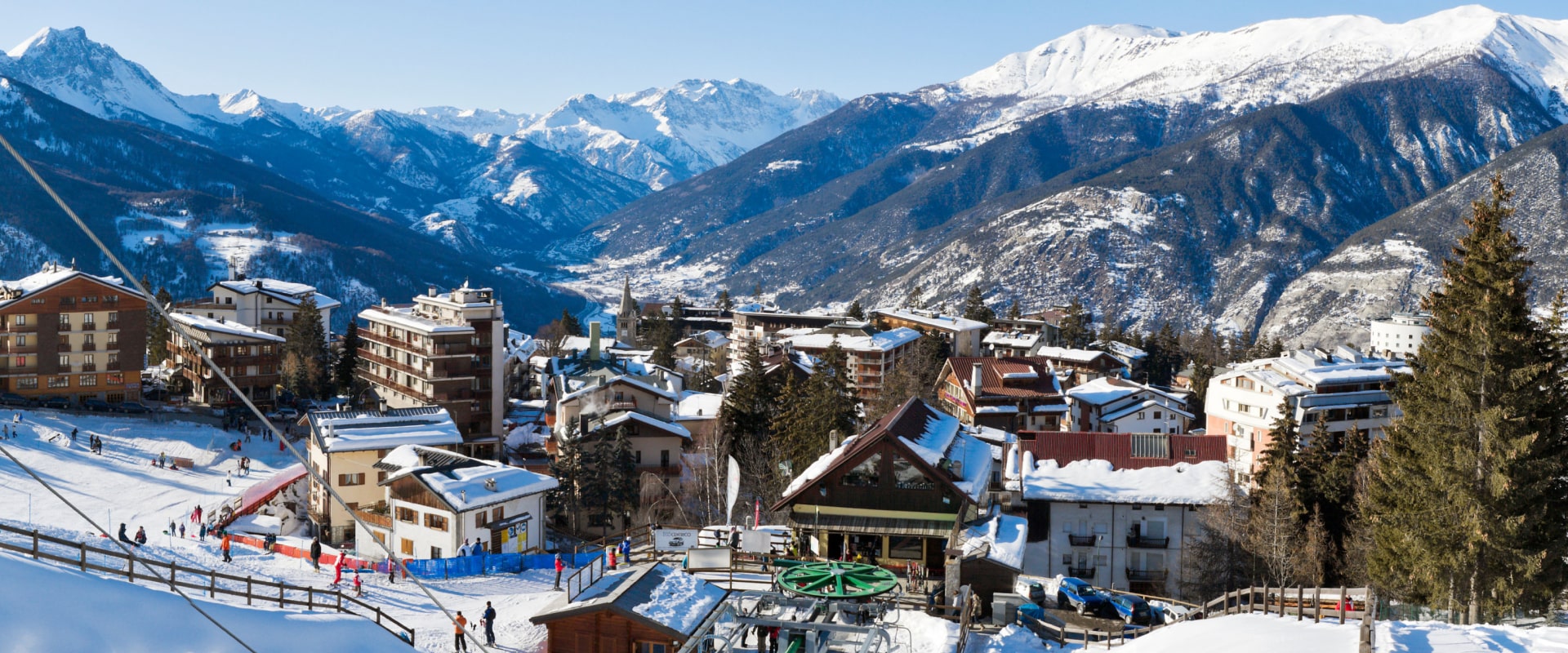
Puy Saint Vincent in winter
Snow at Puy Saint Vincent
Puy Saint Vincent piste map
The official Puy Saint Vincent piste map showing every run, lift and sector. Zoom in for detail or open it full screen.
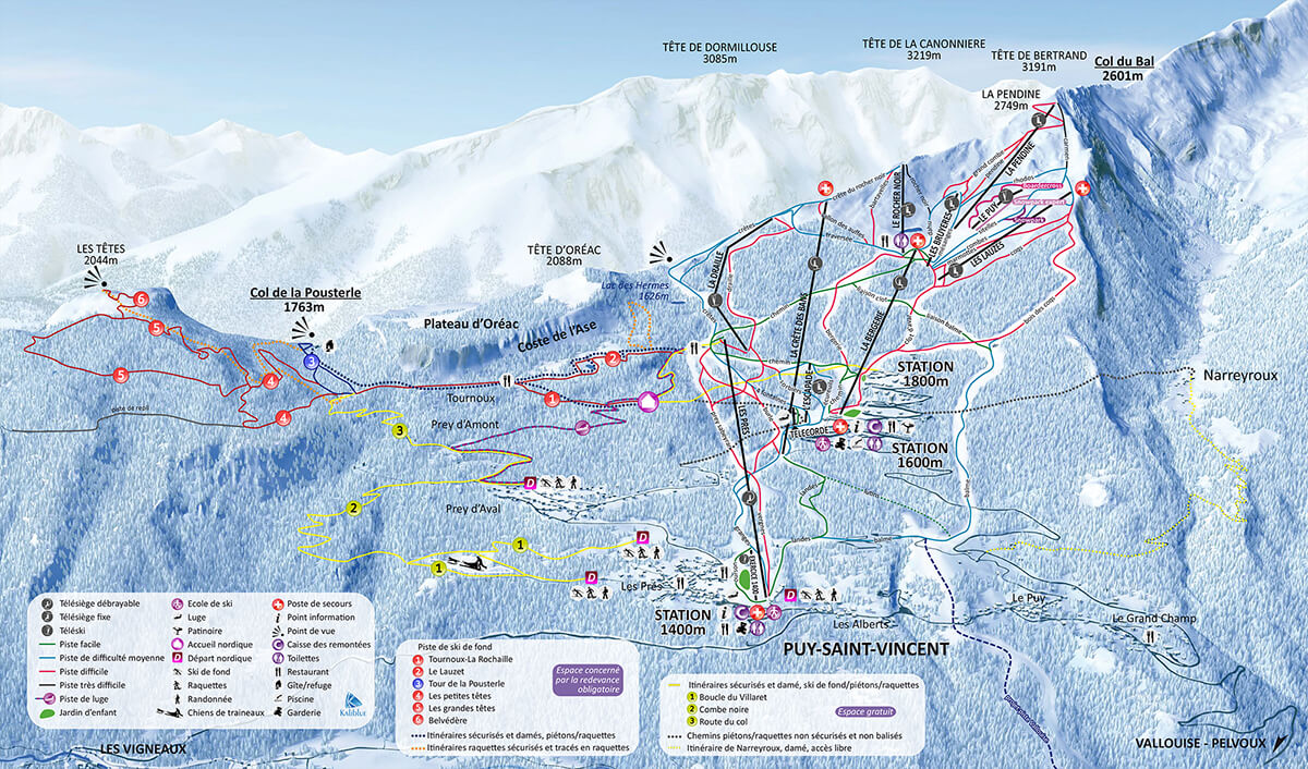
Scroll or pinch to zoom, drag to pan.
View and download Puy Saint Vincent ski map ↗Getting to Puy Saint Vincent
- Turin (TRN)100 km by road2 h 17 min
- Chambéry (CMF)102 km by road2 h 19 min
- Grenoble Alpes-Isère (GNB)108 km by road2 h 28 min
Drive times are estimates based on typical winter road conditions. Book transfers in advance during peak Saturday changeovers.
Resort figures are checked against official resort sources each season. Spotted something out of date? Tell us.
Estaciones cercanas
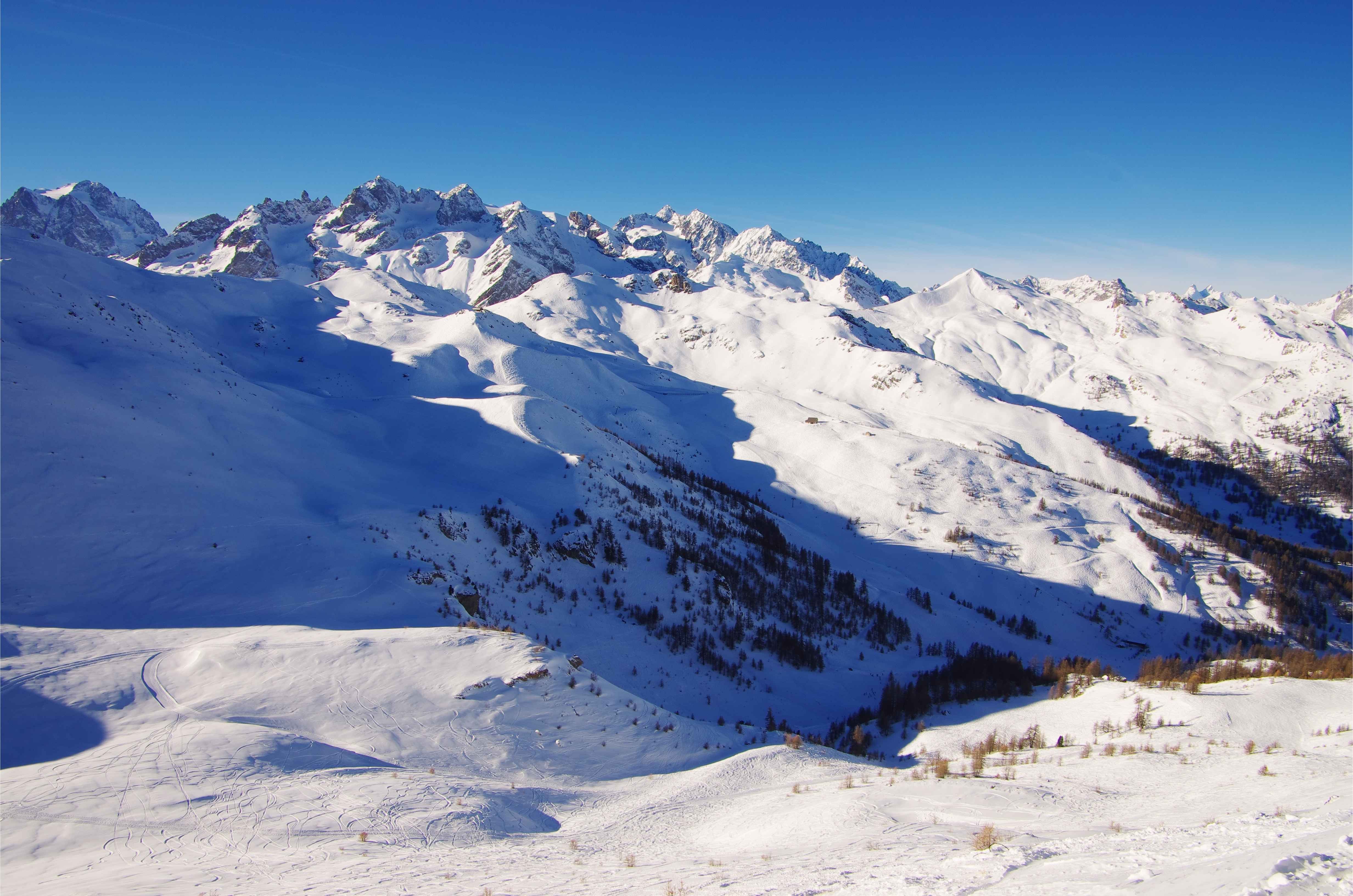
Serre Chevalier
Sunny south facing valley with 250 km of tree lined pistes and thermal baths.

Risoul
Sunny Forêt Blanche resort linked to Vars, popular with families and freestylers.
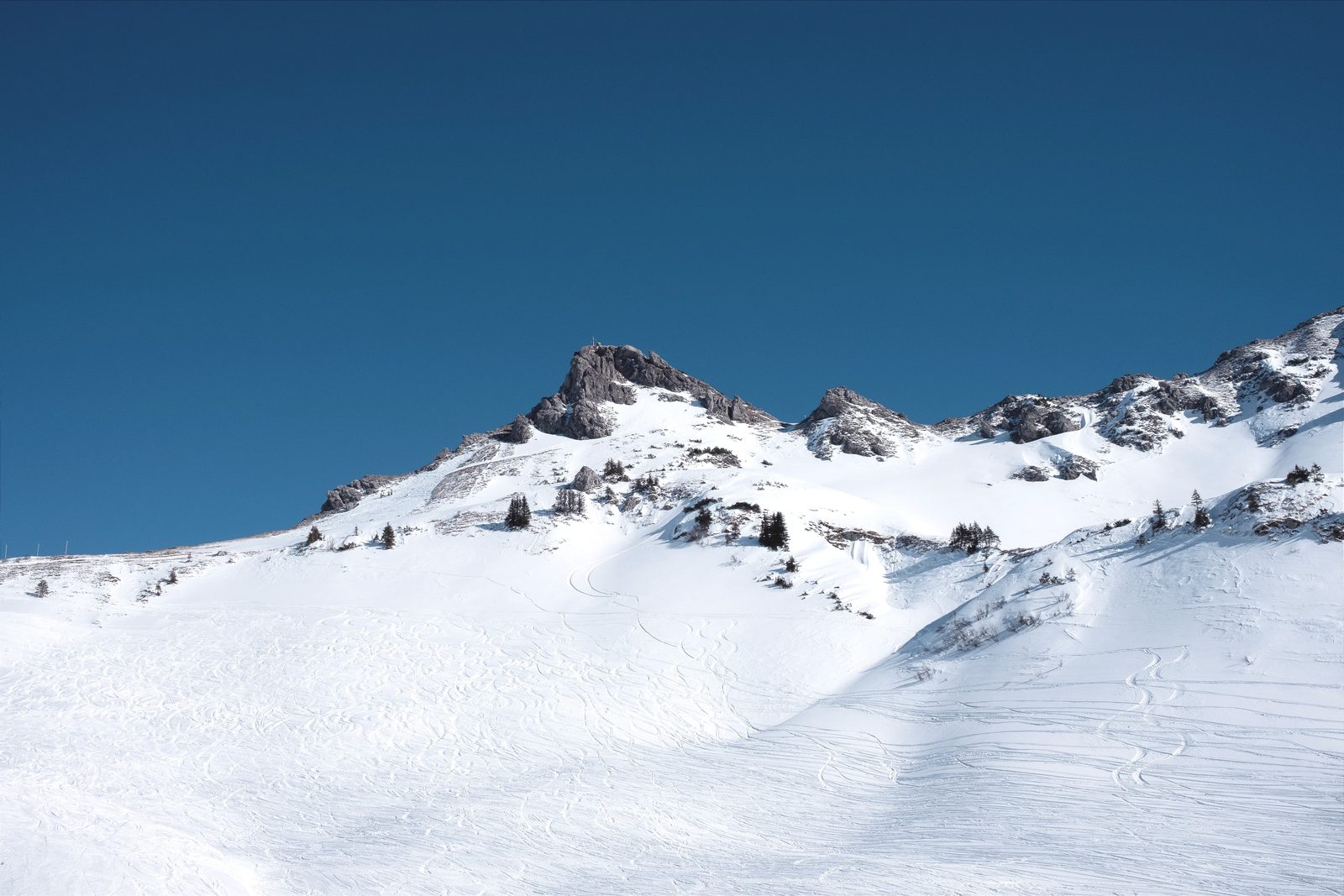
Sansicario - Cesana
A quiet Olympic satellite village within the vast Via Lattea ski area. Access to over 400km of linked pistes with nearly 1,500m of vertical drop.

Vars
Linked with Risoul into the Forêt Blanche and home to the world speed skiing record.
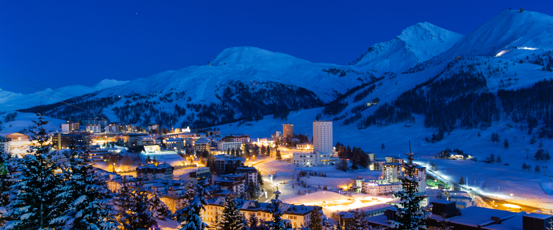
Sestrière
High-altitude skiing in the Via Lattea with 400 km of slopes, perfect for intermediate and advanced skiers.

Les Deux Alpes
Europe's largest skiable glacier. Reliable snow and one of the strongest freestyle scenes.
Sauze D'Oulx
A lively après-ski hotspot, restaurants for every mood and access to an epic 5 different ski resorts across two countries
Alpe d'Huez
Famously referred to as l'île au Soleil for its average of 300 sunny days annually, Alpe d'Huez majestically sits atop a southern-oriented plateau, elevated above the clouds, and provides breathtaking panoramic views.