
Zauchensee
Enclave elevado de nieve en Ski Amadé que acoge el descenso femenino de la Copa del Mundo cada enero.
Esta página se ha traducido automáticamente. La versión en inglés es la original. Ver el original en inglés
What to expect at Zauchensee
Zauchensee is a small, high snow-pocket at the western end of Ski Amadé, tucked between the peaks at 1,361 m at the base. It links with Flachauwinkl and Kleinarl into the Ski Amadé sector called Ski Zauchensee - Flachauwinkl - Kleinarl, totalling 220 km. Zauchensee itself has one of the best snow records in the Salzburger Land, north-facing bowls and altitude keep cover long. It hosts the FIS World Cup women's Super-G and downhill on the Kälberloch each January, one of the tougher speed venues on the tour. There is no real village, just a cluster of ski-in hotels around the base lifts.
Zauchensee in winter
Zauchensee piste map
The official Zauchensee piste map showing every run, lift and sector. Zoom in for detail or open it full screen.
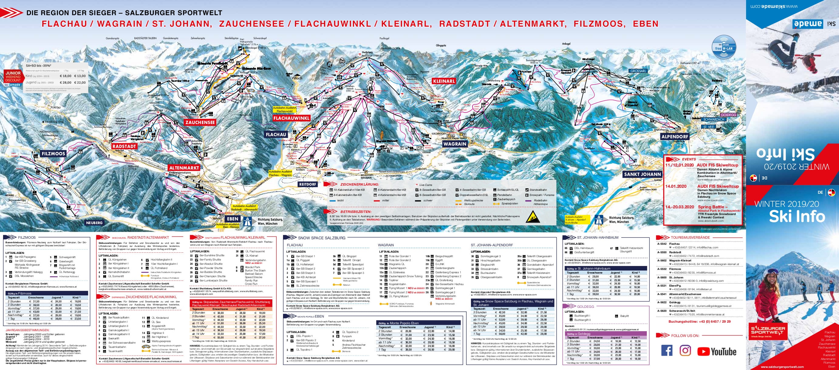
Scroll or pinch to zoom, drag to pan.
View and download Zauchensee ski map ↗Getting to Zauchensee
- Salzburg (SZG)66 km by road1 h 30 min
- Klagenfurt (KLU)98 km by road2 h 14 min
- Ljubljana (LJU)141 km by road3 h 12 min
Drive times are estimates based on typical winter road conditions. Book transfers in advance during peak Saturday changeovers.
Resort figures are checked against official resort sources each season. Spotted something out of date? Tell us.
Estaciones cercanas
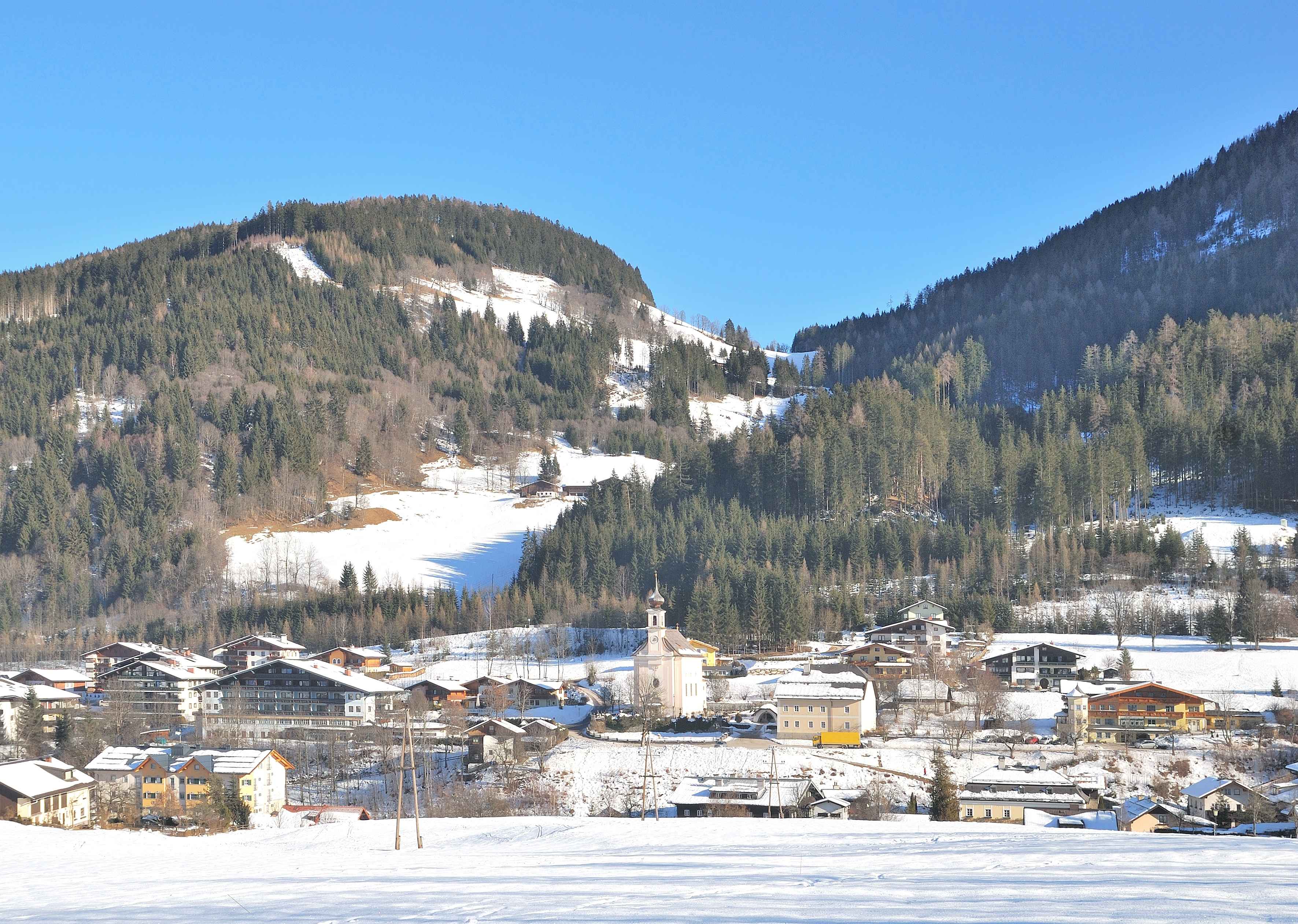
Flachau
Ski Amadé hub village and home of the World Cup night slalom under the floodlights.
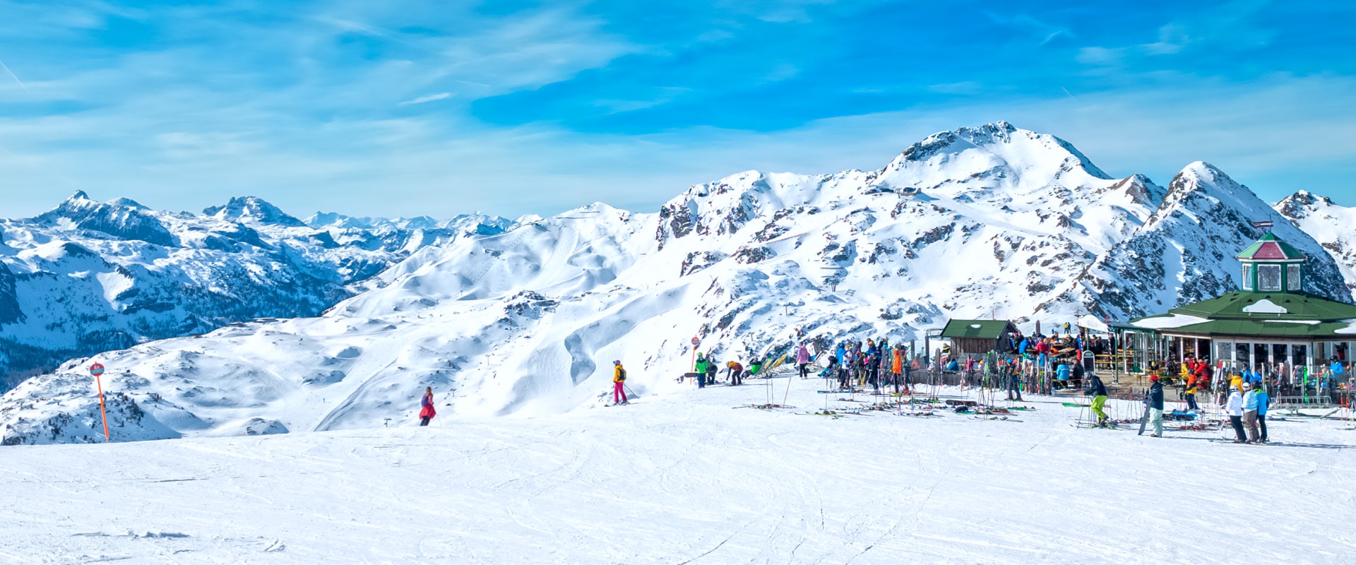
Obertauern
Famous for its high-altitude skiing, extensive terrain, and guaranteed snow.
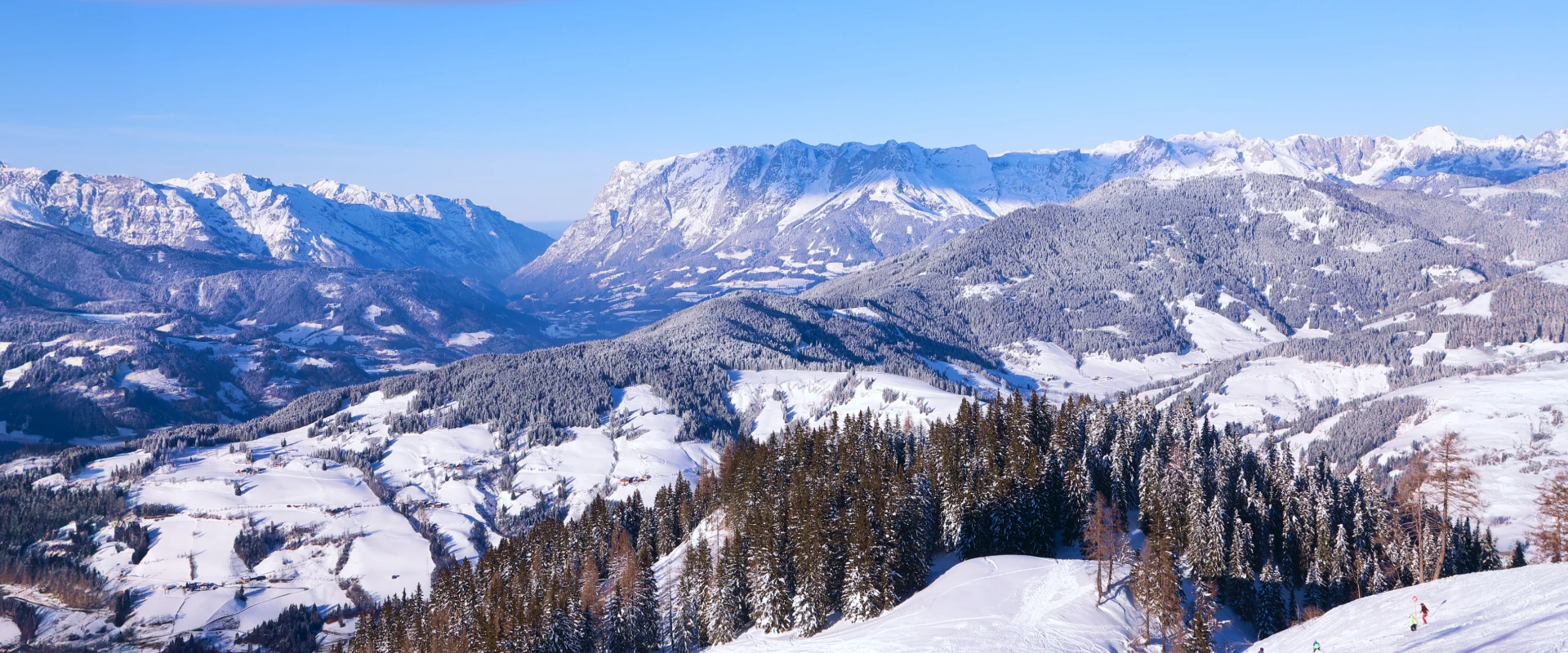
Wagrain
A delightful blend of alpine beauty, ski convenience, and family-friendly amenities
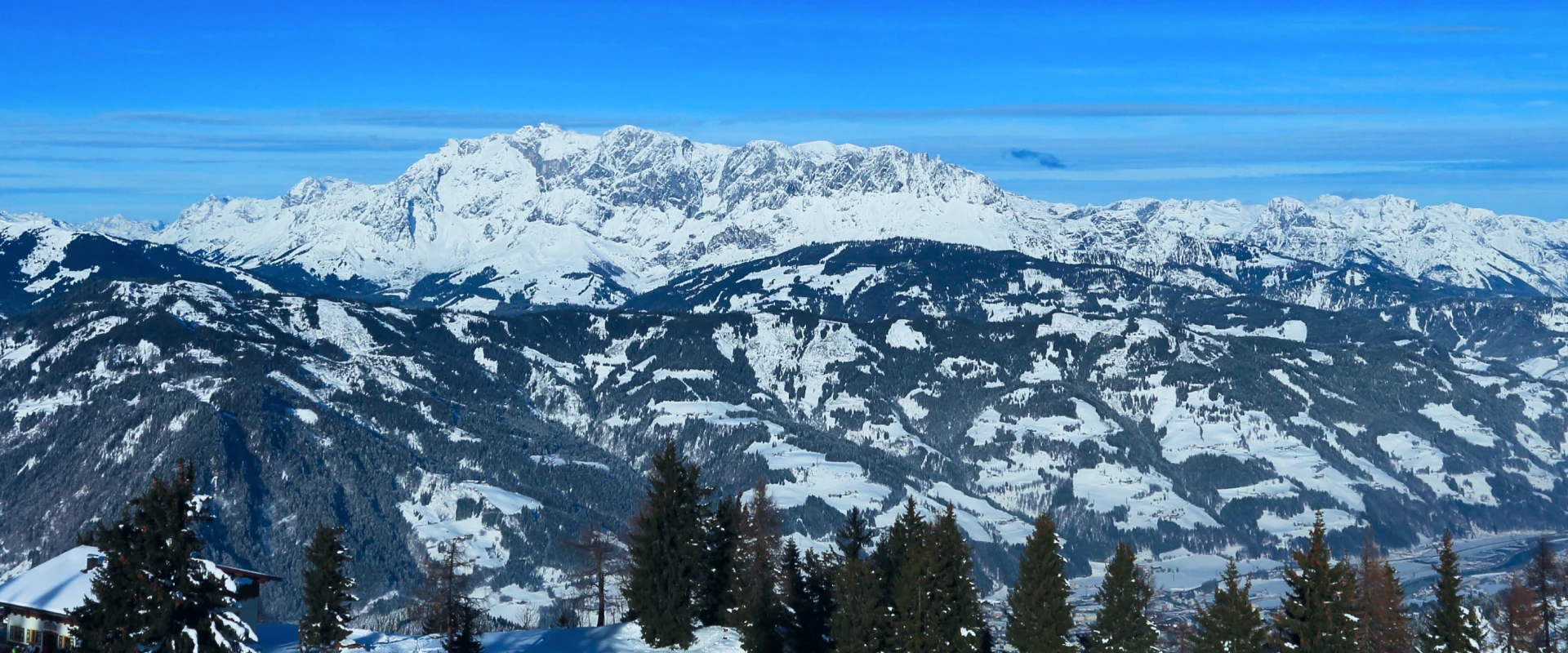
St Johann Im Pongau
Where vibrant small-town charm blends with extensive slope adventures across the peaks and valleys of Ski amadé.

Planai Schladming
Schladming's headline mountain, home of the floodlit Nightrace and a fortress of grooming.

Schladming
A four-mountain ski circuit of 123km you can ride from end to end and home to the legendary World Cup Night Slalom - above a cobbled Styrian town with a medieval square and one of Austria's most spirited après-ski scenes.
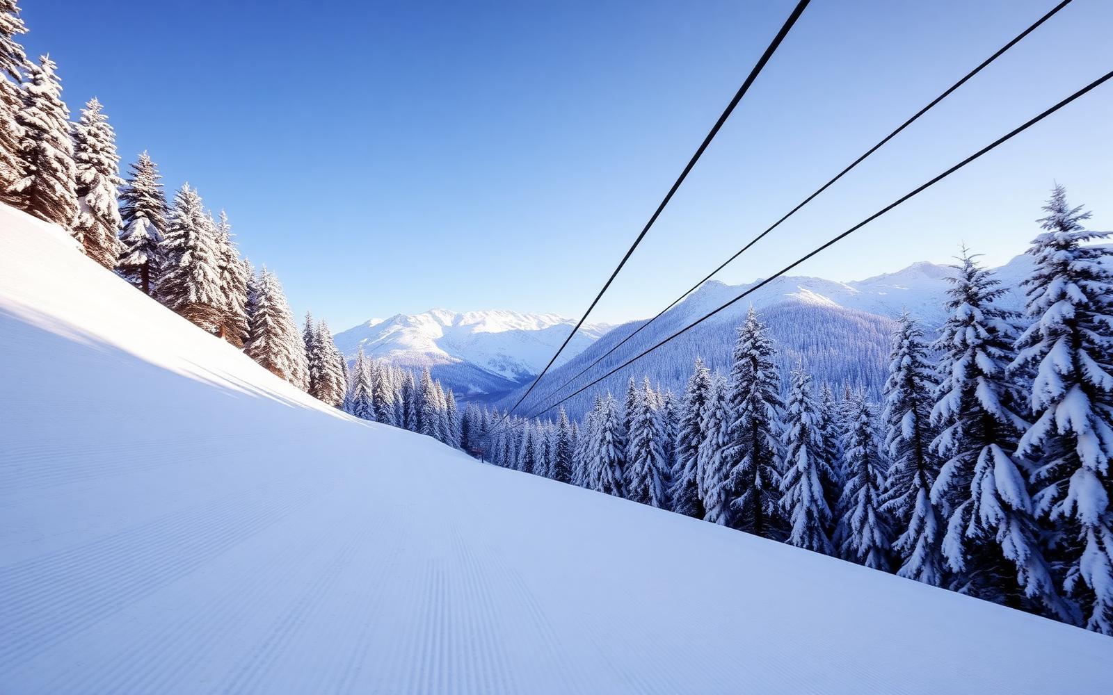
Muhlbach Am Hochkönig
A Salzburg village providing access to the 120km Hochkönig ski circuit beneath Austria's most dramatic limestone massif. Genuine Alpine character.

Hochkönig
Three villages, one huge horseshoe of intermediate cruising below the Hochkönig massif.