
Les Sybelles
Sześć miejscowości połączonych w czwarty co do wielkości francuski region narciarski, bez wygórowanych cen.
Ta strona została przetłumaczona maszynowo. Wersja angielska jest oryginałem. Zobacz oryginał w języku angielskim
What to expect at Les Sybelles
Les Sybelles is France's fourth-largest ski area but somehow one of its least-known internationally. Six traditional villages in the Maurienne, Saint-Sorlin d'Arves, Saint-Jean d'Arves, La Toussuire, Le Corbier, Les Bottières, Saint-Colomban des Villards, are linked by lifts across a series of ridges into 310 km of piste. There is no single glossy resort centre; the whole thing is spread out and undramatic, which keeps prices low. Terrain is generally gentle intermediate, with the exception of the north face of the Ouillon which holds serious off-piste. It is one of the few remaining big French areas where a family week costs less than half of the Tarentaise.
Les Sybelles piste map
The official Les Sybelles piste map showing every run, lift and sector. Zoom in for detail or open it full screen.
Scroll or pinch to zoom, drag to pan. Map shown: 2024 season.
View and download Les Sybelles ski map ↗Getting to Les Sybelles
- Chambéry (CMF)55 km by road1 h 14 min
- Grenoble Alpes-Isère (GNB)78 km by road1 h 46 min
- Turin (TRN)105 km by road2 h 23 min
Drive times are estimates based on typical winter road conditions. Book transfers in advance during peak Saturday changeovers.
Resort figures are checked against official resort sources each season. Spotted something out of date? Tell us.
Pobliskie kurorty

Les Menuires
The value entry point into the Trois Vallées with easy grooming and huge access.
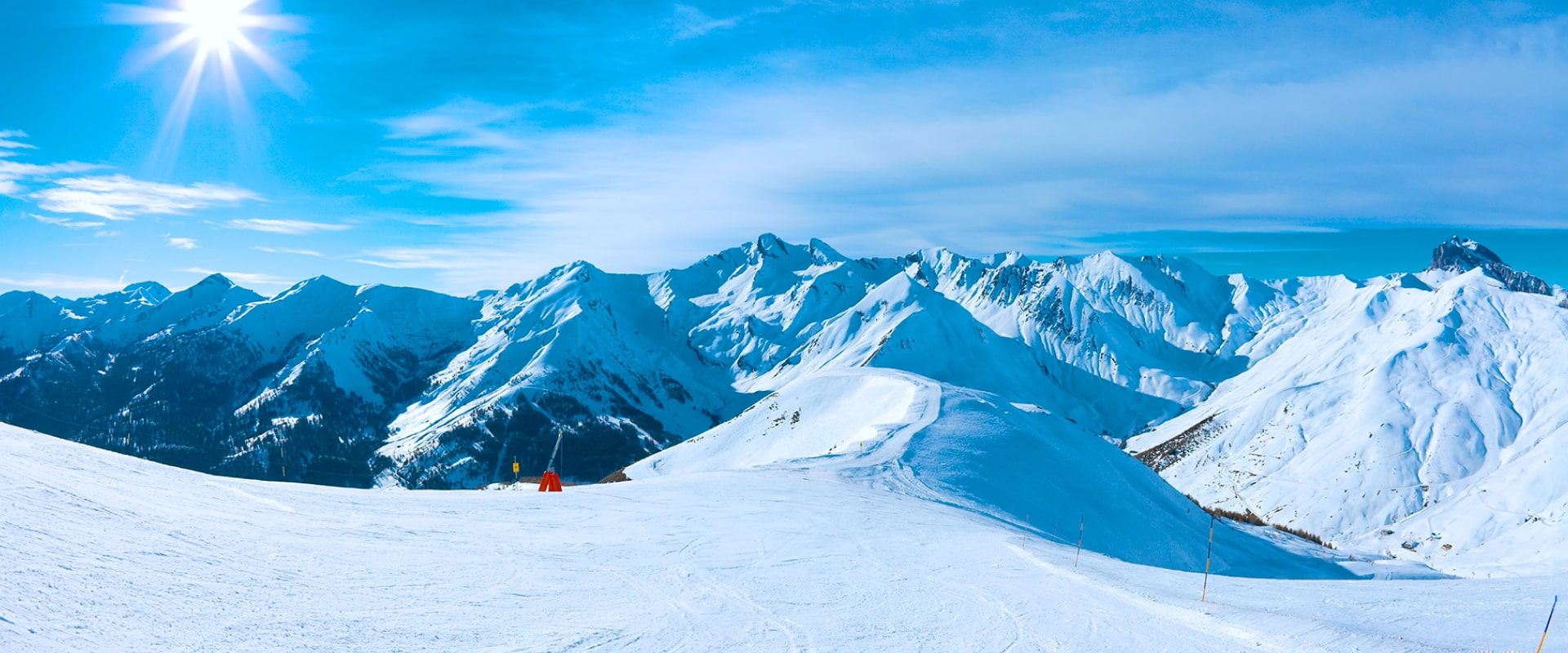
St Martin de Belleville
Serene Savoyard village with access to 600 km of slopes in France's Trois Vallées.
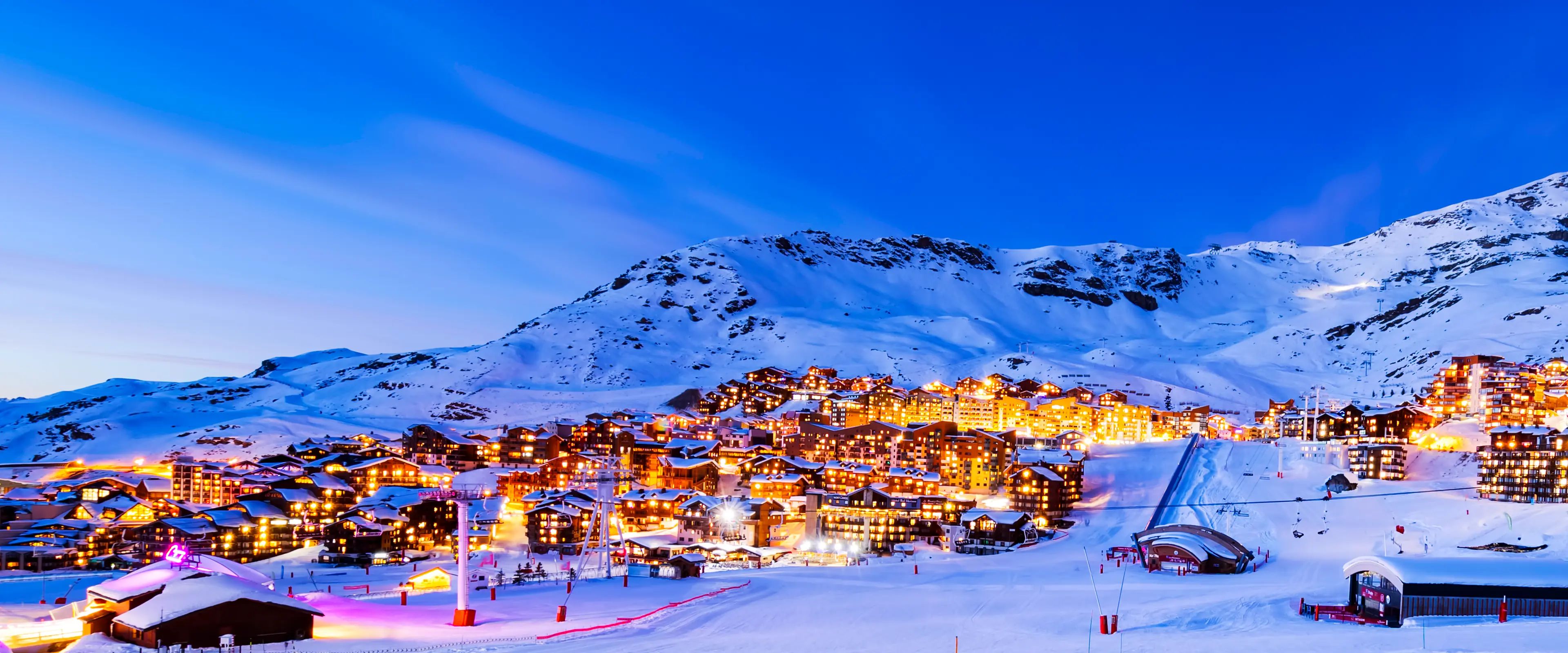
Val Thorens
Europe's highest ski resort, in the largest ever ski area, and with one of the longest and most reliable seasons around.

Valmorel
Pedestrian friendly modern chalet village linked into the Grand Domaine.

Méribel
Chocolate box chalet village at the heart of the Trois Vallées. Polished, wooded, sociable.
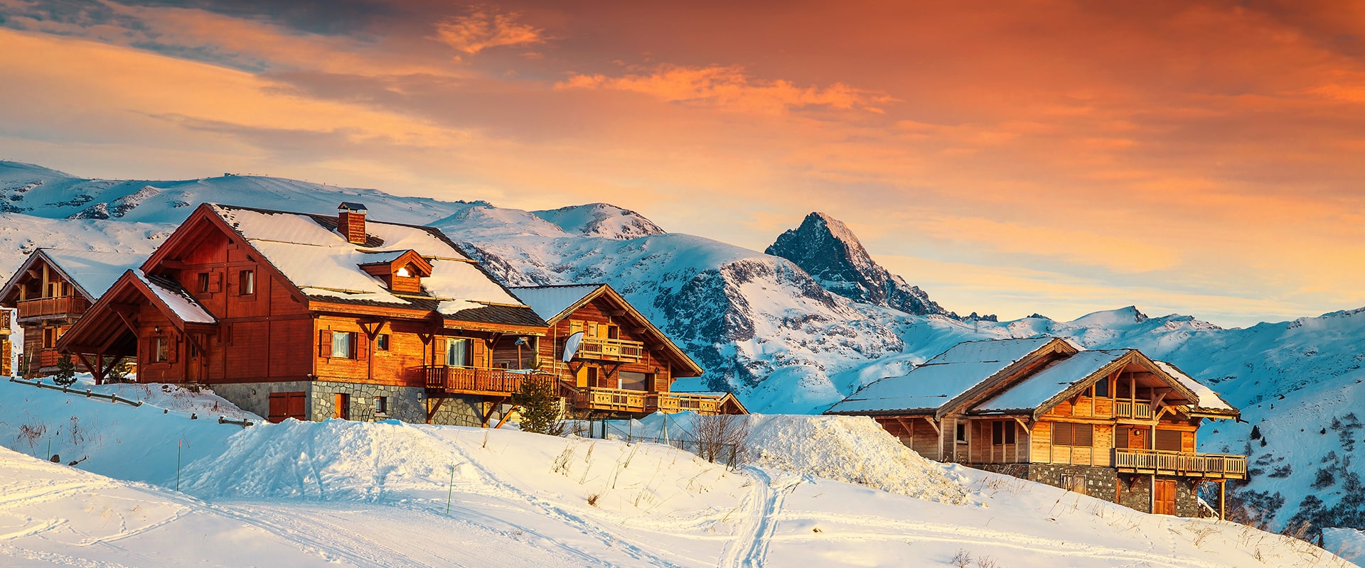
Alpe d'Huez
Famously referred to as l'île au Soleil for its average of 300 sunny days annually, Alpe d'Huez majestically sits atop a southern-oriented plateau, elevated above the clouds, and provides breathtaking panoramic views.
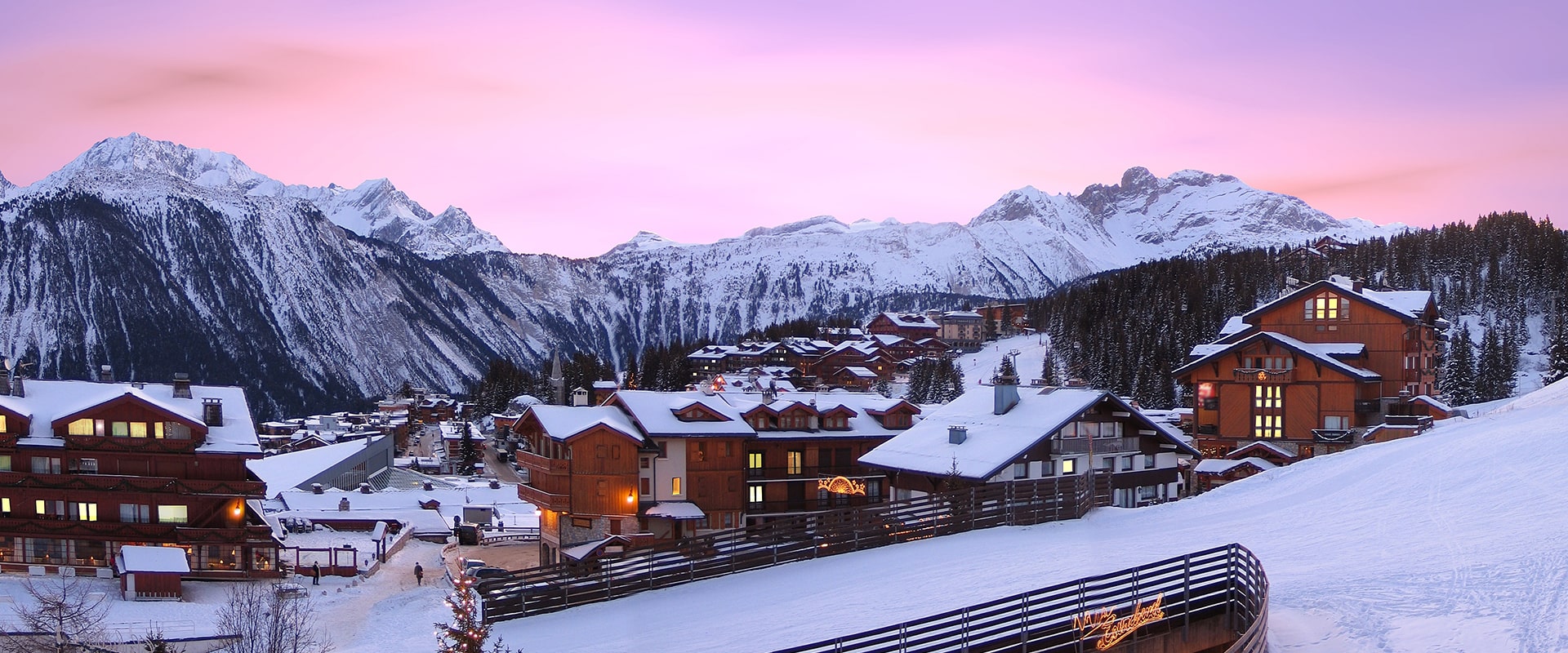
Courchevel
This glamorous French ski resort is known as the jewel in the crown of the world's biggest ski area, the Three Valleys.

Les Deux Alpes
Europe's largest skiable glacier. Reliable snow and one of the strongest freestyle scenes.