Westendorf
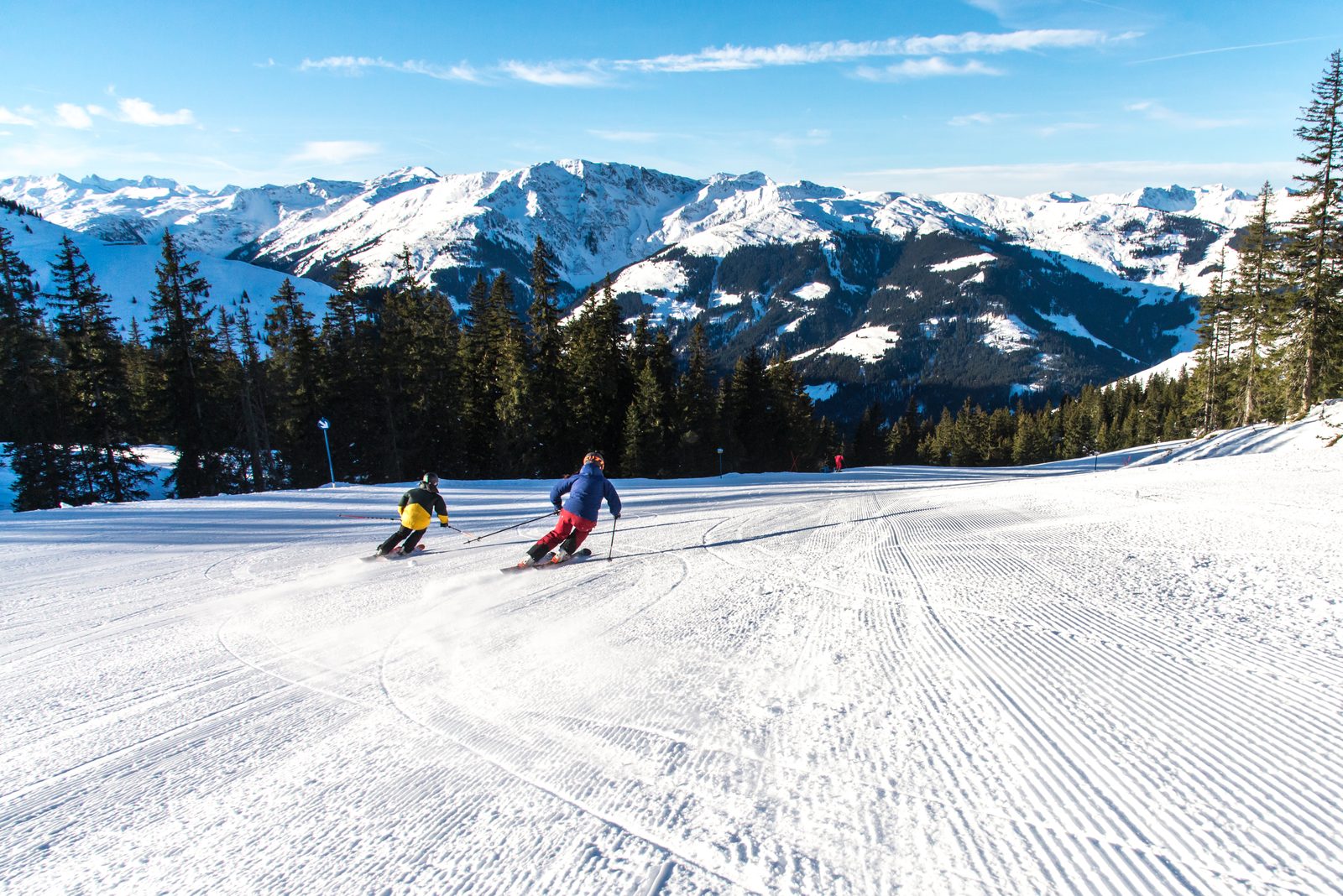
Najładniejsza z wiosek SkiWelt, spokojniejsza niż Söll, z trasami otoczonymi drzewami.
Ta strona została przetłumaczona maszynowo. Wersja angielska jest oryginałem. Zobacz oryginał w języku angielskim
What to expect at Westendorf
Westendorf is the quiet, pretty village at the western end of the SkiWelt Wilder Kaiser-Brixental, Austria's largest linked ski area at 288 km. Unlike Söll or Ellmau it never got a modern lift-town core, so it kept its onion-domed church, its market square and its farmhouses. The lift out of the village goes to the Choralpe at 1,829 m and links across to the wider SkiWelt via a gondola into Brixen. Runs are largely intermediate and tree-lined, which makes for good bad-weather skiing, and after 4pm it stays deliberately quiet, the après scene is over the hill in Söll for anyone who wants it.
Westendorf piste map
The official Westendorf piste map showing every run, lift and sector. Zoom in for detail or open it full screen.
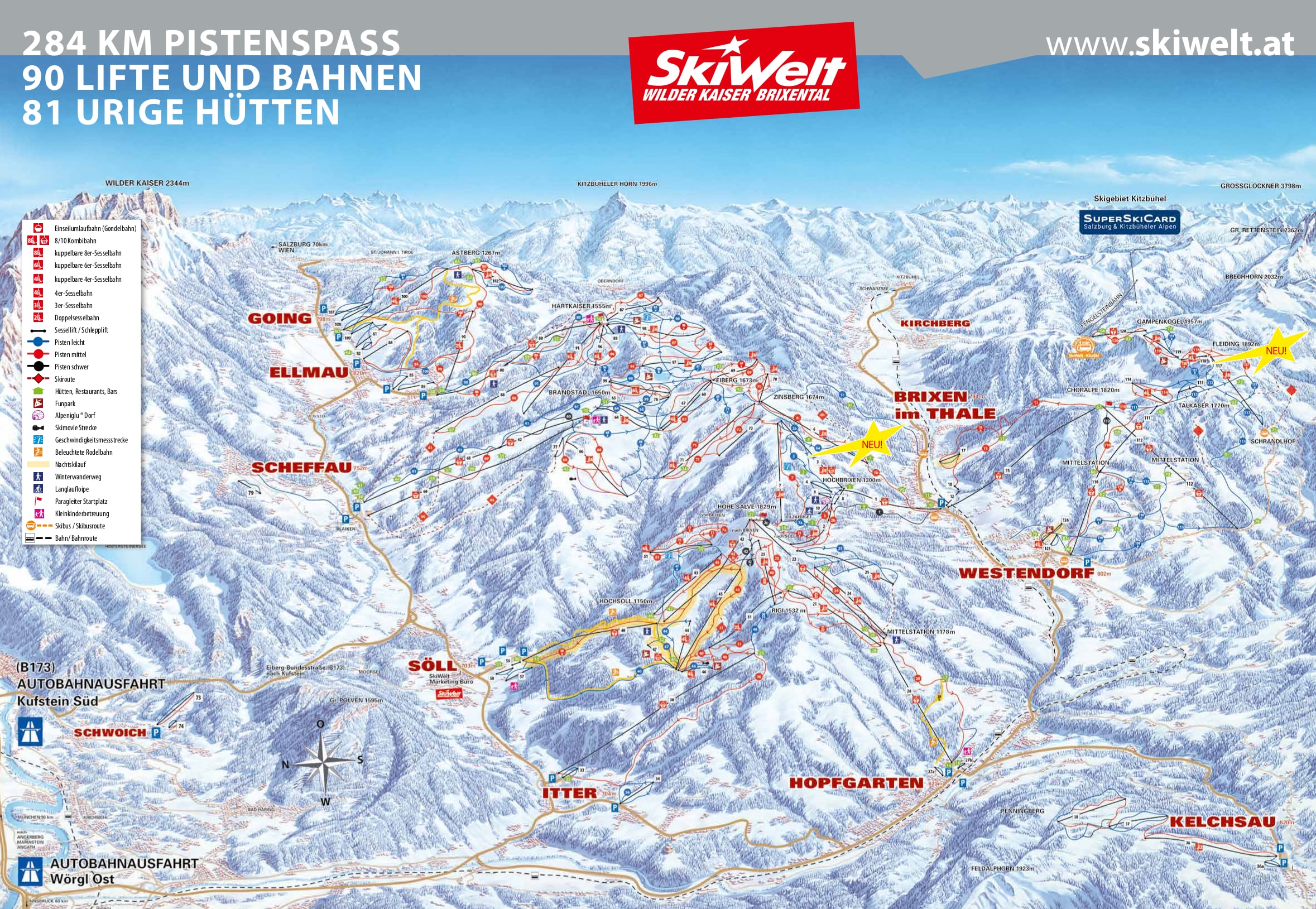
Scroll or pinch to zoom, drag to pan.
View and download Westendorf ski map ↗Getting to Westendorf
- Innsbruck (INN)68 km by road1 h 33 min
- Salzburg (SZG)72 km by road1 h 38 min
- Munich (MUC)108 km by road2 h 27 min
Drive times are estimates based on typical winter road conditions. Book transfers in advance during peak Saturday changeovers.
Resort figures are checked against official resort sources each season. Spotted something out of date? Tell us.
Pobliskie kurorty

Kirchberg
All the skiing of Kitzbühel at a more relaxed pace: a proper Tyrolean village with family-run Gasthöfe and lively après, sharing 188km of KitzSki pistes with its neighbour.

Söll
Party heavy SkiWelt gateway with easy grooming and a raucous night skiing scene.

Ellmau
Gateway to the SkiWelt, Austria's largest linked ski area, and a family classic.
Kitzbühel
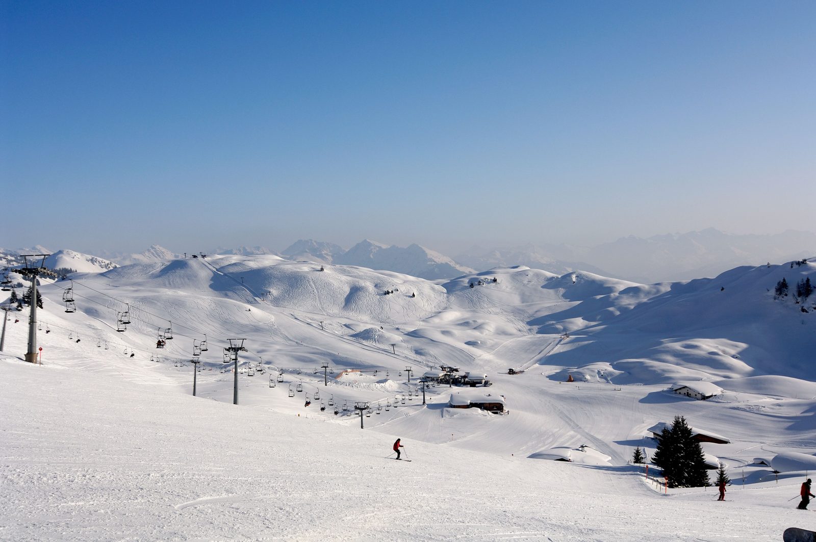
Medieval walled town and home of the Hahnenkamm, the most feared downhill in racing.

St. Johann in Tirol
Traditional Tyrolean market town at the foot of the Kitzbüheler Horn.
Königsleiten
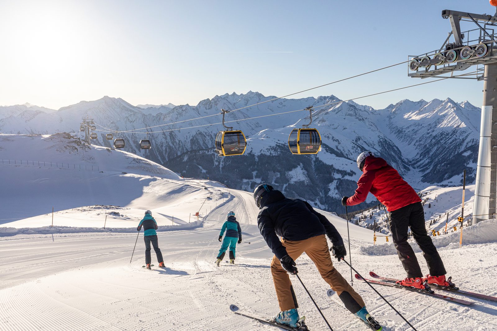
A high-altitude village at 1,600m providing snow-sure access to the vast 143km Zillertal Arena. Reliable conditions on the Salzburg-Tyrol border.

Fieberbrunn
The only Austrian stop on the Freeride World Tour, with steep, lift-accessed powder terrain off the Wildseeloder and a gondola link into the 270km Skicircus - all from a quiet, traditional Tyrolean village base.
Gerlos
Zillertal Arena hub village. Snow sure, quieter than Mayrhofen and family friendly.